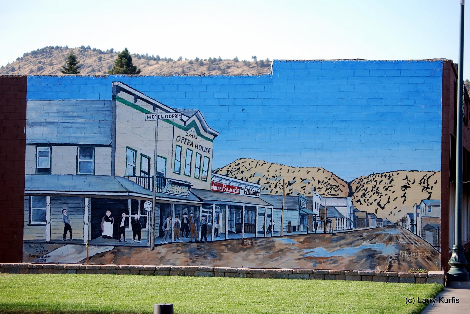
After we arrived we went to the Tulelake NWR visitors center to see what they could tell us about the area. We took some time in the museum and watched the short film about the area. There is a lot of history in this area. It is most known as the largest of the internment camps of WWII. But there is much more, The Modoc wars, Klamath Project, homesteads, Lava Beds.
After we left the visitors center we decided to take the auto tour around the lake to get a look at any wildlife. There were a lot of waterfowl, of course, but not a huge amount at this time of year. We did have a dear cross the road in front of us. When we reached the end of the route we went to Petroglyph Point to see the messages the native peoples left us. To bad there have not been interpreted yet. They don't look very similar to those we have seen in the south west.
The next day we went to the Lava Beds National Monument visitors center. When we arrived at the entrance station we were screened for Bat White Nose Syndrome. Basically that consisted of questions about what caves we were in in the last 9 years and if we had anything with us that had been in caves we visited in the states where White Nose is known. We passed.
There are several caves, lava tubes, that one can visit and you can checkout flashlights, hard hats and gloves. One cave, Mushpot, is lighted and that is the one we went in. We hadn't read the things to know before you go so we didn't have long pants, gloves, etc.
After leaving the visitors center we decided to take one of the back roads, read gravel/dirt/FS to Mammoth Crater and on to Medicine Lake. Mammoth Crater is a volcano crater but does not hold water because the ground is so porous.

Our next to the Lava Beds took us to Cpt. Jack's stronghold. We took the short loop hike thru the stronghold and saw how difficult it would have been for the Army to attack. Our next stop was Schonchin Butte where I hiked the .7 mile to the lookout but I took the 1.1 mile return where the first .4 miles went around the rim of the crater and was much gentler that the last few hundred yards of the trail up. Because of the fires in Washington, Oregon and California the view didn't allow me to see the distant points. Suzette patiently waited for me to make the climb and return.
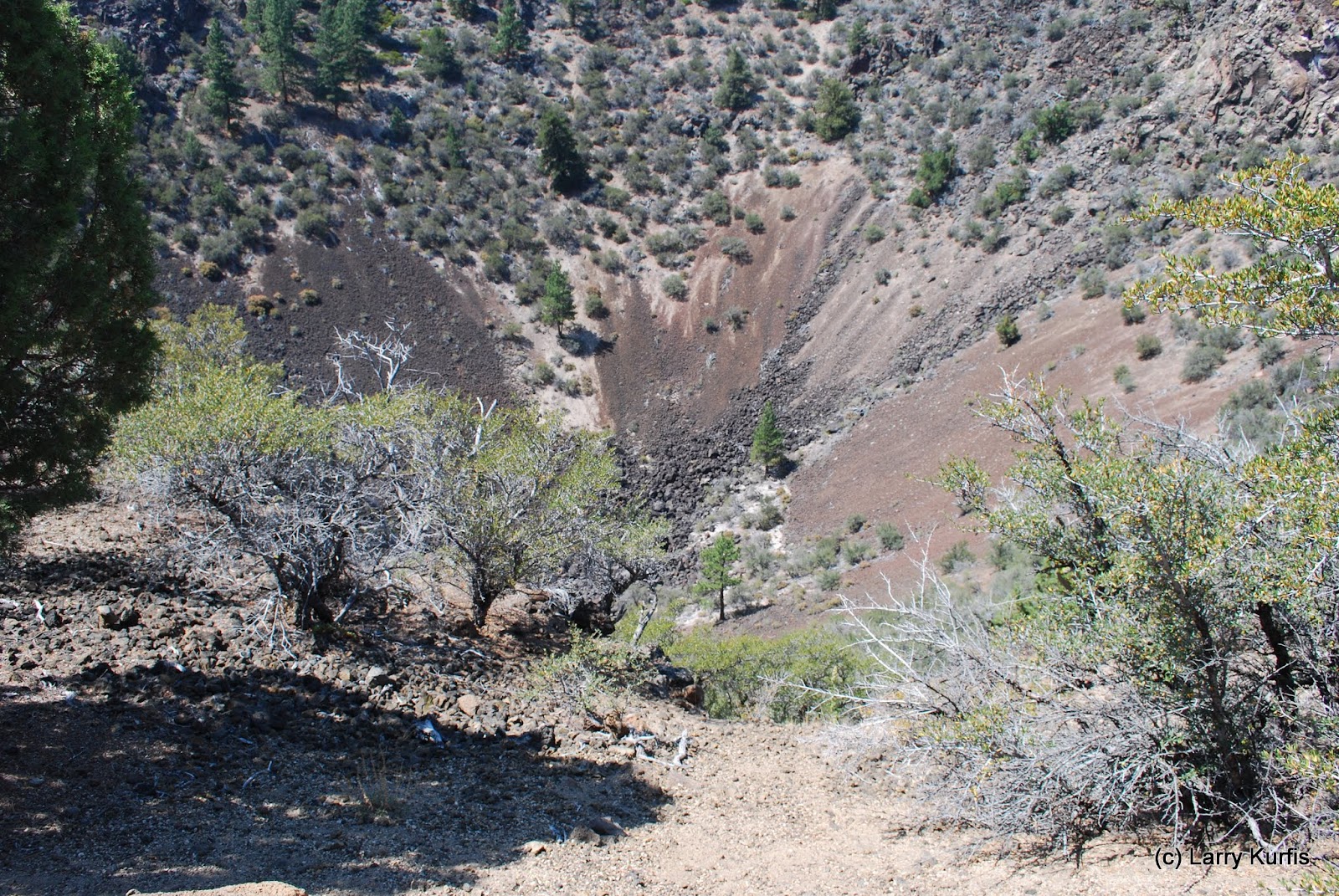
For lunch we went to Fleener Chimneys an ate at the shaded picnic tables. We walked to the chimneys. These are basically vertical lava tubes that formed when the shield volcano erupted. The flow from the chimneys formed the Devils Homestead.


No comments:
Post a Comment